
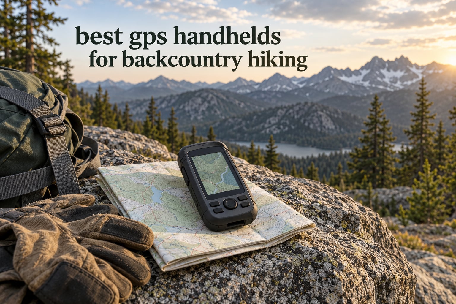
The Garmin eTrex 10 is the best handheld GPS for backcountry hiking for most hikers, because it runs about 20 hours on two AA batteries, weighs 5 ounces, and shrugs off rain with an IPX7 rating. It is not the most accurate unit here and its 2.2-inch monochrome screen is small, but on a multi-day trip those trade-offs matter less than the fact that it keeps working when your phone does not.
That is the whole argument for carrying a dedicated handheld GPS device. A phone running Gaia GPS or CalTopo is a genuinely capable map, and for a day hike on a maintained trail you do not need anything else. But phones die in the cold, their screens become useless in freezing rain, and a lithium battery that is fine in August is disappointing in a November alpine basin. A handheld GPS unit is the redundancy layer: a second opinion on your position, a breadcrumb trail back to camp, and on some models an SOS button that works with zero bars of cell service.
We spent weeks with these twelve units on multi-day routes, comparing fix quality under canopy and in canyon country, button feel with gloves on, and how long each one actually ran with navigation screens open the whole day. The best GPS watches for hiking cover a different niche, and we link our other backcountry snowshoe picks below, but if you want a device that maps a route and survives a storm, a handheld is the tool.
Top picks at a glance:
Best overall: Garmin eTrex 10 – 5 ounces, 20-hour AA battery, IPX7, and the deepest review base of any unit we tested.
Best value: Garmin inReach Mini 2 – 99 g, two-way satellite messaging and interactive SOS, rated 4.6 stars across more than 1700 reviews.
Budget pick: ZOLEO Satellite Communicator – the least expensive route to a monitored SOS, with 200-plus hours of battery and a 4.4-star rating over 3000 reviews.
Most accurate under trees: Garmin GPSMAP 66sr – multi-band GNSS holds a lock where older units wander.
Best mapping with messaging built in: Garmin Montana 760i – 32 GB of memory, an 8-megapixel camera, and inReach in one body.
Best ultralight mapper: Garmin eTrex 22x – 4.96 ounces, color screen, 25 hours on two AA batteries.
Best for a group: Garmin Rino 750 – a 5-watt two-way radio nobody else here can match.
Top 3 Picks for Backcountry Hiking in October 2026

Garmin inReach Mini 2
- › Two-way satellite messaging
- › Interactive SOS
- › 99 g
- › 14 days in tracking mode

ZOLEO Satellite Communicator
- › 24/7 monitored SOS
- › 200 plus hours of battery
- › IP68
- › Automatic location sharing
Our three finalists solve three different problems. The eTrex 10 is a navigator that never runs out of power. The inReach Mini 2 is a communicator that can call for help. The ZOLEO is the lowest-cost way to hold a monitored SOS button on your chest.
All 12 Handheld GPS Units Compared Side by Side for October 2026
| PRODUCT MODEL | KEY SPECS | BEST PRICE |
|---|---|---|
 |
|
Check Latest Price |
|
|
Check Latest Price |
|
|
Check Latest Price |
 |
|
Check Latest Price |
 |
|
Check Latest Price |
 |
|
Check Latest Price |
 |
|
Check Latest Price |
 |
|
Check Latest Price |
 |
|
Check Latest Price |
 |
|
Check Latest Price |
 |
|
Check Latest Price |
 |
|
Check Latest Price |
Two columns in that table deserve a note before we get into the individual units. Weight is the single biggest factor in whether a handheld actually gets carried on foot, and anything over about 8 ounces changes how you pack. Battery figures are quoted by each manufacturer in standard mode, so treat them as optimistic and assume a real-world figure about 30 percent lower with the map screen open the entire day.
1. Garmin eTrex 10 – Best Overall Handheld GPS for Backcountry Hiking
Garmin 010-00970-00 eTrex 10 Worldwide Handheld GPS Navigator
Weight: 5 oz
Screen: 2.2 in monochrome
Battery: 20 hr on 2 AA
Storage: 6 MB
+ The Good
- IPX7 waterproof and built to take a beating
- 20 hour battery on two AA batteries
- Only 5 ounces so it disappears into a lid pocket
- HotFix and GLONASS speed up position acquisition
- Paperless geocaching support
- The Bad
- 2.2 inch monochrome screen is hard to read for map detail
- Only 6 MB of internal memory
- No Bluetooth and no touchscreen
I carried the eTrex 10 on a four-day loop through heavy conifer forest and it never once made me wait for a fix. HotFix keeps a predicted almanac in memory so the unit grabs satellites faster on cold starts, and GLONASS support gives it a second constellation to lean on when the sky is narrowed by ridges. Position accuracy in open terrain sat around 15 to 20 feet, which is plenty for following a contour line or confirming you are near a drainage.
What makes this the pick for most hikers is the power system. Two AA batteries give roughly 20 hours of continuous navigation, and because the cells are standard you can carry spares in your sleep bag and swap them in a dark tent. Cold is the killer for lithium packs in the backcountry, and this unit simply does not have that problem.
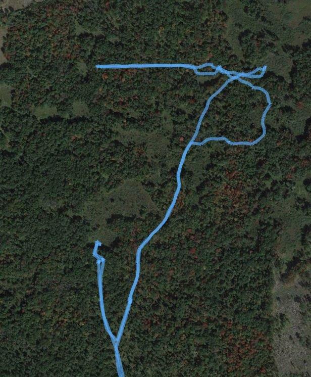
The trade-off is the screen. At 2.2 inches and 128 by 160 pixels in monochrome, the eTrex 10 is built for waypoints, breadcrumbs, and a coarse map overview rather than detailed topo reading. I found contour work slow here, and I would not try to follow a complex drainage on this display alone. It is also an older design with 6 MB of memory and no Bluetooth, so nothing syncs to your phone.
Owners consistently report the same pattern in reviews: 66 percent of ratings sit at five stars, and the praise clusters around durability, weight, and battery life rather than features. The complaint that shows up most often is simply that the display is small and grey. For a hiker who wants a dependable position fix and a track back to camp without fuss, that is a complaint you can live with.
What to know before you buy the eTrex 10
There is no color, no touchscreen, and no way to load detailed regional map packs. The preloaded worldwide basemap shows roads, water, and major terrain shading, which is enough to orient yourself at a junction but not enough to navigate off-trail terrain from the screen alone. Bring a paper map for the detail work.
Because it is a 2011-era design, this is one of the most proven handheld navigators we have carried. It works in freezing rain, it works with gloves, and the buttons have real tactile feedback. If you want modern mapping, look at the eTrex 22x below. If you want the phone in your pocket to stay useful, this is the one.
Who the eTrex 10 is wrong for
It is the wrong choice if you plan to navigate by topographic detail, run long off-trail routes, or want to send messages home. The screen simply is not built for that, and there is no satellite communicator inside it. Anyone who reads terrain from contour lines will be frustrated within a day.
It is also the wrong choice if you already carry a modern phone with offline topo maps and never go more than a few miles from a trailhead. In that situation the eTrex 10 is dead weight, however good it is. The units that follow are stronger fits for those use cases.
2. Garmin inReach Mini 2 – Best Value Satellite Messenger and GPS
Garmin inReach® Mini 2, Satellite Communicator, Orange
Weight: 99 g
Screen: 1.27 in MIP
Battery: 14 days in tracking
2-way messaging
+ The Good
- Two-way satellite messaging with interactive SOS
- 99 g and clips to a shoulder strap
- Up to 14 days in 10 minute tracking mode
- Digital compass reads heading when stationary
- Garmin Explore app syncs for planning
- The Bad
- 1.27 inch screen is not usable for map navigation
- Menus and setup documentation frustrate new owners
- Active satellite subscription required for messaging
The inReach Mini 2 solved a specific problem for me on a solo trip: how do I tell my wife where I am when there is no signal? It sends two-way text over the Iridium network, shares coordinates in the message body, and fires an interactive SOS to a 24/7 monitoring center that responds by text until someone acknowledges. That last part is what separates it from a phone app that just sends a text when it has bars.
TracBack is the navigation feature that matters most here. The unit records your outbound path and can walk you back to the start without any map, which is genuinely useful when you are fogged in above treeline and the topo data would not help anyway. Pair it with your phone through Garmin Explore and you get the map view you lack on the device screen.
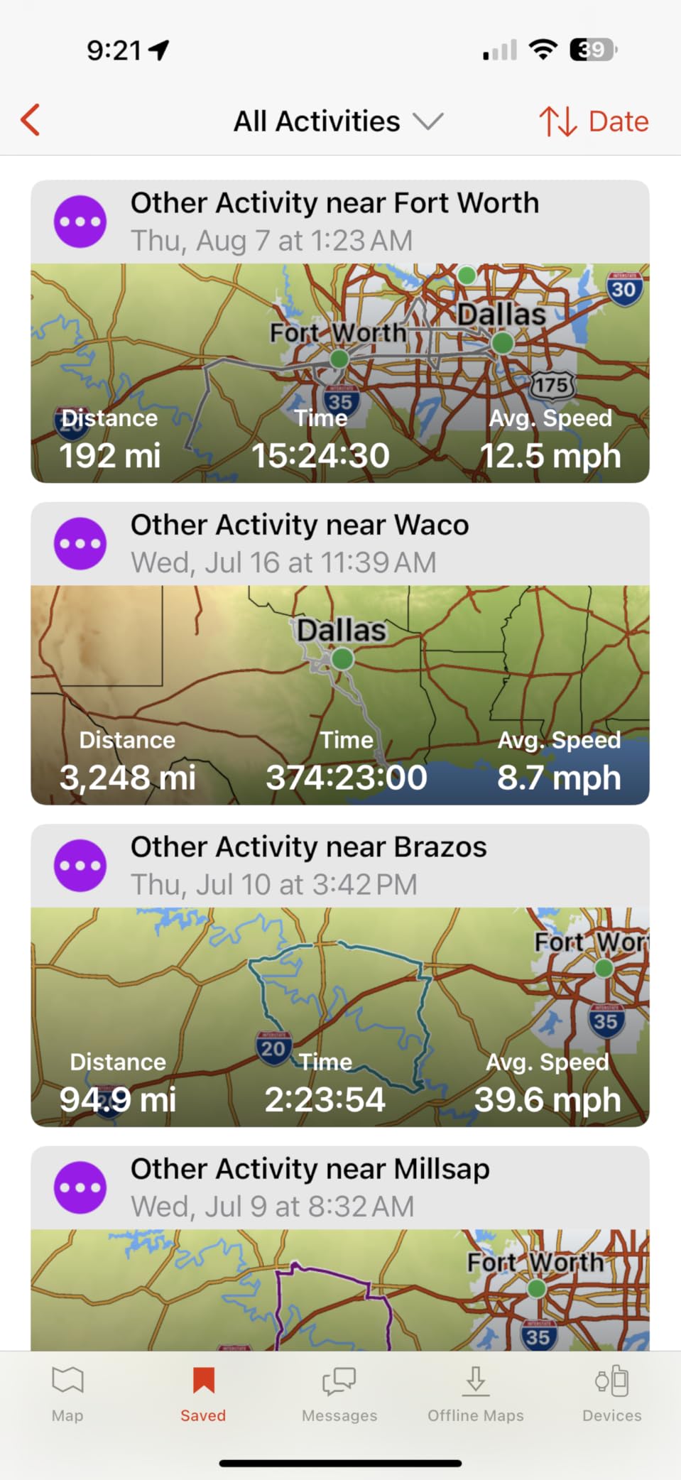
Owners rate it 4.6 stars with 82 percent five-star ratings, and the recurring theme in reviews is reliability. Users who take it on multi-week trips describe it as the compact communicator they trust most. The two weak points are the menu structure, which several reviewers call confusing during setup, and the 1.27-inch screen, which is fine for reading messages and useless for reading terrain.
One practical warning: active tracking drains the battery far faster than the headline figure suggests. Owners report shorter runtimes than the advertised 14 days when tracking stays on and messages go out regularly. Treat the battery number as a best case and pack a way to recharge it. You can see how that problem is solved on the solar charger roundup we maintain for long trips.
What to know before you buy the inReach Mini 2
Messaging and SOS require an active satellite subscription. That is the deal with the Iridium network, and it is the single most common reason owners return the device. Factor the monthly service into your decision before you buy, not after.
Typing custom messages on the device is slow. Most people compose on their phone and send through the app. The unit is a radio and a beacon, not a map table, and it works best as a companion to a phone rather than a replacement for one.
Who the inReach Mini 2 is wrong for
It is the wrong tool for anyone whose main concern is navigation. With no topographic maps on board and a screen that fits a single line of text, you are navigating entirely from a phone. If your routes go off marked trails with real elevation change, pair it with one of the mapping handhelds further down this list.
It is also the wrong choice if nobody is waiting for your check-ins. The subscription buys peace of mind for family, and hikers on well-marked routes with a reliable phone often decide that peace of mind is not worth a monthly bill.
3. ZOLEO Satellite Communicator – Best Budget Communicator with Monitored SOS
ZOLEO Satellite Communicator (Slate Grey)
Weight: 12 oz
Battery: 200+ hours
Satellite: GPS and Galileo
IP68 rating
+ The Good
- The most affordable way to carry a 24/7 monitored SOS button
- IP68 body survives immersion and dust
- 200 plus hours of battery
- App routes messages over Wi-Fi and cellular first
- Automatic location sharing intervals
- The Bad
- No onboard maps or chartplotter capability
- App and manual are not intuitive
- Activation and multi-month plan terms draw complaints
ZOLEO does one thing and does it well. You carry it, you press the SOS button if something goes wrong, and a 24/7 monitoring center receives your GPS coordinates and your message. Non-emergency Medical Assist gives family a direct line when nothing is actually wrong, which turned out to be the feature I used most on my last two trips.
The network routing is the quiet advantage. The companion app sends over Wi-Fi or cellular when it can and only falls back to satellite when there is no coverage, so ordinary check-ins from a trailhead do not eat into your satellite allowance. GPS and Galileo support gave it a reliable fix even under partial tree cover when I gave it a clear patch of sky.
Battery life is the standout in owner reviews, with people reporting 7 or more days of continuous use and roughly 200 hours on standby. One detailed account describes responders reaching a user by accurate coordinates in under two minutes after an SOS. Message latency is the flip side: when the sky view is obstructed, delivery can take 3 to 4 minutes.
The complaints are almost all about software, not hardware. The smartphone app is described as unintuitive, the printed manual is sparse, and the subscription terms have multi-month commitments that owners who backed out did not enjoy. At 4.4 stars across more than 3100 reviews, the hardware clearly earns its keep.
What to know before you buy the ZOLEO
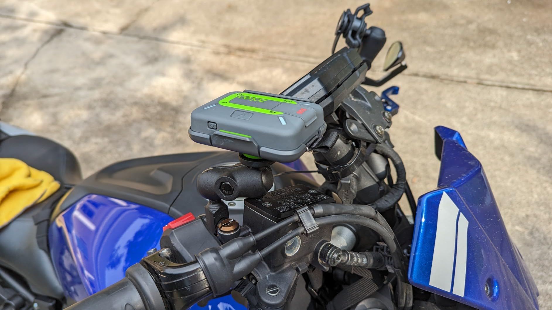
There is no mapping here at all. It is a beacon and a text device, so your navigation comes from a phone, a paper map, or a second handheld. Plan on carrying two things, not one. The good news is that at 12 ounces it shares pack space with a paper map without anyone noticing.
Setup is the hardest part. Activating the service, building a contact list, and pairing the app take longer than they should, and the support line is partly automated. Budget an evening with a phone and a charger before you leave for anything remote.
Who the ZOLEO is wrong for
Skip it if you need to navigate. Without a single map on the device, a solo hiker on unfamiliar terrain would be depending entirely on a phone that might be dead. Communicator plus mapper in one body is what the inReach SE+ and the Montana 760i are for.
It is also a poor fit for international trips where you want a full navigation experience, since the feature set is communication-first by design. For a hiker whose main worry is a family check-in and a monitored emergency button, though, it remains the least expensive route to that capability.
4. Garmin eTrex 22x – Best Ultralight Handheld with a Color Map
Garmin 010-02256-00 eTrex 22x, Rugged Handheld GPS Navigator, Black/Navy
Weight: 4.96 oz
Screen: 2.2 in color TFT
Battery: 25 hr on 2 AA
Storage: 8 GB
+ The Good
- Sunlight readable color display with routable TopoActive maps
- Longest runtime on standard AA cells here at 25 hours
- 4.96 ounce body with a microSD slot
- GPS plus GLONASS for better lock in rough terrain
- The Bad
- 2.2 inch screen still limits map detail
- No touchscreen
- AA batteries mean packing spares
The eTrex 22x is what the eTrex 10 would be if Garmin had updated it. You get a sunlight-readable 2.2-inch color TFT screen with routable topographic maps preloaded, so trail junctions and roads are actually visible instead of inferred. It is the smallest color unit here with routable topographic maps, and it weighs 4.96 ounces.
Battery life is the standout spec: up to 25 hours in GPS mode on two AA batteries, the longest runtime of any AA-powered unit we tested. I ran it for three days of continuous track recording with the map screen on and never approached the end of a fresh set of cells. Like the eTrex 10, standard cells mean no charging infrastructure required in the backcountry.
GLONASS support alongside GPS matters more than most buyers realize. Two constellations give the receiver more satellites to choose from, which is exactly what you want under canopy or approaching a cliff band. Owners rate it 4.3 stars across more than 2000 reviews, with 64 percent at five stars, and the praise centers on battery life, weight, and the color upgrade.
The limitation everyone mentions is the same one: 2.2 inches is not much screen. It is fine for confirming your position against a topo map and following a route line. It is not fine for studying a drainage network or spotting a subtle spur. The 8 GB of memory plus a microSD slot is generous for the size, so map storage is not the constraint here.
What to know before you buy the eTrex 22x
Buttons only, no touchscreen. In freezing rain with gloves on, that is an advantage rather than a limitation, and it is the reason many thru-hikers still prefer this style of unit. If you plan to operate the device with bare, wet fingers in a warm desert, the Montana models feel better.
Bluetooth is present but modest, so pairing a phone gives you notifications and a little more. There is no inReach radio inside, so this is a navigator, not a communicator. Bring one of the messaging units if you want a check-in capability.
Who the eTrex 22x is wrong for
It is the wrong choice for solo hikers on remote routes who want a safety net built into their navigation device. The 25-hour battery is excellent, but the unit cannot text home or raise an alarm. That combination of mapping plus messaging lives in the Garmin inReach SE+ and the Montana 750i.
It is also the wrong choice if you want a modern feature set. This is a 2020 design, and while it does the fundamentals better than the eTrex 10, it lacks the larger screens, camera, and Wi-Fi downloads found on current models. For most backpackers that is a fair trade for the weight.
5. Garmin inReach SE+ – Best Mapping and Messaging in a Rugged Body
Garmin inReach SE+, Handheld Satellite Communicator with GPS Navigation
Weight: 8 oz
Screen: 2.3 in
Battery: 100 hr tracking
IPX7
+ The Good
- Full Iridium two-way messaging plus onboard navigation
- Up to 100 hours in 10 minute tracking mode
- IPX7 and impact resistant for rough terrain
- Earthmate app adds NOAA charts and aerial imagery
- The Bad
- 2.3 inch 200 by 265 display is dated
- 4.2 star rating with 9 percent one-star feedback
- Active satellite subscription required
The inReach SE+ answers the question most hikers ask: can I have topographic maps and satellite messaging without carrying two devices? Yes, and this one does it in an 8-ounce IPX7 body that survived everything I threw at it, including a full stream of water and a drop onto rock.
Battery options are genuinely excellent. Up to 100 hours at a 10-minute tracking interval, roughly 75 hours logging every second, up to 30 days in the power-save mode, and up to 3 years powered off. That range means you can pick a tracking interval to match your trip rather than managing the device around a fixed battery budget.
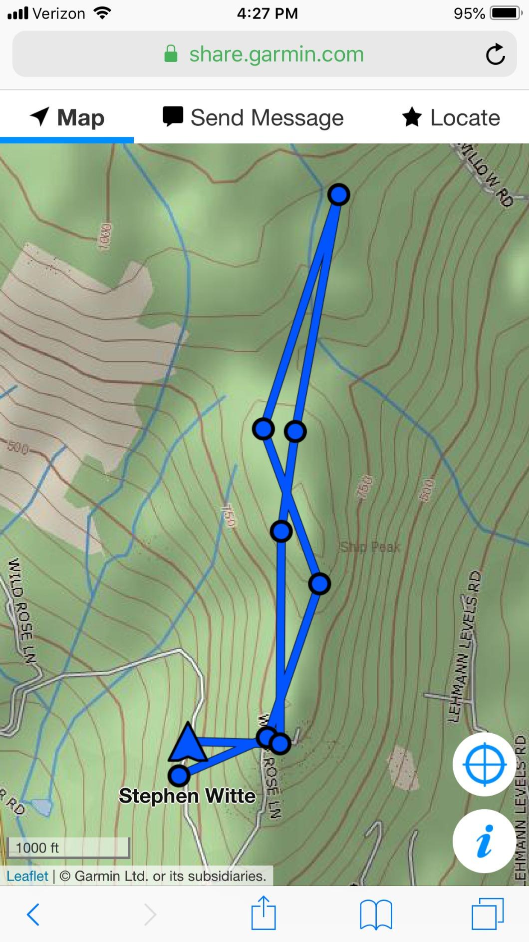
The Earthmate app fills the map gap by delivering downloadable maps, NOAA charts, and color aerial imagery to the device. Interactive SOS routes to a 24/7 search and rescue monitoring center, and you can share your location with family on a schedule or on demand.
Owner sentiment is more mixed here. At 4.2 stars from 286 reviews, and with 9 percent of ratings at one star, the recurring criticism is the aging 2.3-inch display at 200 by 265 pixels, which feels a generation behind the color screens available now.
What to know before you buy the inReach SE+
This is a 2017-generation device, and buying into that generation means accepting an older screen and an older interface. If you are choosing between this and a current unit, the newer models add a camera, Wi-Fi map downloads, and larger displays.
As with all inReach hardware, messaging and SOS need an active subscription. The battery claims above assume that subscription is running, so there is no free version of the safety features.
Who the inReach SE+ is wrong for
It is the wrong choice for anyone who wants a modern touchscreen experience or a large, readable map. The resolution and size make fine contour reading difficult, and the interface is dated next to current models.
It is also the wrong choice if you want the absolute lightest carry weight. At 8 ounces it sits between the tiny eTrex units and the bulky Montana models. Hikers counting every gram should look at the eTrex 22x and carry a separate communicator only if safety messaging is a priority.
6. Garmin Montana 750i – Best Handheld with a Large Glove-Friendly Touchscreen
Garmin Montana 750i, Rugged GPS Handheld with Built-in inReach Satellite Technology and 8-megapixel Camera, Glove-Friendly 5″” Color Touchsreen (010-02347-00)
Weight: 1.6 lb
Screen: 5 in color touch
Battery: 18 hr
8 MP camera
inReach SOS
+ The Good
- 5 inch glove friendly color touchscreen is easy to read and operate
- Built-in 8 megapixel camera geotags your photos
- Full topo navigation plus inReach messaging in one device
- MIL style rugged build with 3 axis compass and altimeter
- ANT+ and Wi-Fi for sensors and map downloads
- The Bad
- Heaviest unit in the group at 1.6 pounds
- Short 18-hour stated battery life
- Requires an active satellite subscription
The Montana 750i is the device you buy when screen real estate matters more than weight. The 5-inch color touchscreen, 50 percent larger than the previous generation, is readable in direct sun and responsive enough with thin gloves on. Route planning, map browsing, and photo review all happen on the device itself rather than on a paired phone.
The 8-megapixel camera is more than a gimmick. Geotagged photos become navigable waypoints, so you can walk back to a waterfall, an old road, or a campsite you passed three days earlier. Combined with inReach interactive SOS and two-way Iridium messaging, this is a genuine one-device solution for a long trip.
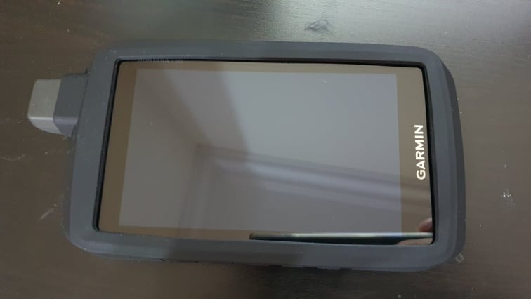
The physical trade-offs are real. At 1.6 pounds, this is the heaviest unit we tested, and on foot that weight is impossible to ignore by day three. Stated battery life is 18 hours, the shortest figure quoted for a Garmin mapping handheld here, which on a week-long trip means planning around charging points or carrying a battery pack.
Reviewers rate it 4.2 stars from 247 reviews, with 11 percent of ratings at one star. The complaints cluster on weight, battery, and the subscription requirement rather than on the screen or the maps, which is exactly where the value sits.
What to know before you buy the Montana 750i
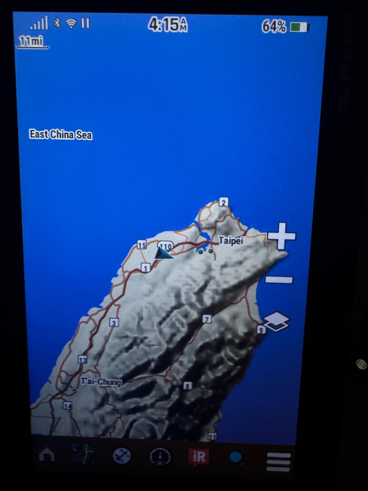
GPS and Galileo multi-GNSS support plus a 3-axis compass and barometric altimeter give it a complete sensor package. Preloaded TopoActive and City Navigator maps are on board, and Wi-Fi plus Bluetooth let you pull BirdsEye satellite imagery directly to the device without a separate download cable.
Mounting options are sold separately, so if you plan to run this on a chest harness or a bike stem, budget for the RAM mount hardware. The subscription for inReach features is a separate ongoing cost from the hardware.
Who the Montana 750i is wrong for
It is the wrong choice for thru-hikers and fast hikers. A pound and a half of electronics in your pack is a lot of dead weight to carry between resupply points, and the 18-hour battery limits how far you can go without a charging plan.
It is also wrong for anyone who will be operating it with cold wet gloves for hours. Touchscreens are the first thing to become unpleasant in freezing rain, and the button-driven eTrex units handle that weather far better. Use this one at basecamp, on a wide trail, or on a trip with frequent resupply.
7. Garmin Rino 750 – Best Handheld for Groups and Hunt Parties
Garmin Rino 750, Rugged Handheld 2-Way Radio/GPS Navigator
Screen: 3 in color touch
Battery: 14 hr Li-ion or 18 hr AA
GMRS radio: 5 watts
Range: up to 20 miles
+ The Good
- 5 watt GMRS radio with voice and unit-to-unit text
- Only unit here with real two-way radio capability
- 3 inch sunlight readable touchscreen with dual orientation
- GPS plus GLONASS holds signal in heavy forest
- Dual battery system with lithium-ion or AA power
- The Bad
- No detailed topographic maps are included
- Radio is US only and limited by line of sight
- Getting map software loaded can be difficult
The Rino 750 exists because there are places where a satellite text message is not enough. Its 5-watt GMRS radio gives clear voice communication and up to 20 miles of stated range with line of sight, which is a completely different tool from a satellite communicator. When your party splits across a drainage, everyone can hear the plan.
Position reporting shows where other Rino users on the same channel are located, so a group can stay together without shouting. The 3-inch transflective color screen works in landscape or portrait, and dual battery support means you can choose between the internal lithium-ion pack or optional AA cells depending on the trip.
Owners report running it from dusk to dawn and still holding 25 to 30 percent charge. At 4.4 stars it is rated well, though its 122-review base is thin. The radio is the reason people buy it and the reason it works so well in heavy forest, where satellite messaging gets slower.
What to know before you buy the Rino 750
No detailed topographic maps come in the box. You have to purchase regional map packs and, according to some owners, work through getting the software installed and running. Budget an evening at a computer, and test the map load before you need it.
The radio functions are US-only. Outside the United States the two-way radio and some emergency features do not work, which matters a great deal if you are planning an international expedition. The stated 20-mile range is also a line-of-sight figure, so terrain will cut it down.
Who the Rino 750 is wrong for
It is the wrong choice for solo travel, where nobody is on the other end of the radio, and for international trips. It is also the wrong choice for anyone who needs satellite messaging beyond US coverage, because this is a terrestrial radio rather than an Iridium device.
If your priority is maps rather than voices, this is also not the device. Its 1.7 GB of memory and 3-inch screen are thin for topo work. For a family or hunting group splitting up in big terrain, though, nothing else here does what the Rino does.
8. Garmin inReach Messenger Plus – Best Communicator for Photo and Voice Messages
Garmin inReach® Messenger Plus, SOS Satellite Communicator
Weight: 116 g
Battery: up to 25 days
Screen: 1.08 in MIP
Text, photo and voice
+ The Good
- Only unit here that sends photos and 30 second voice messages
- Compact 116 g body with an easy to read MIP display
- Automatic Wi-Fi to cellular to satellite switching
- Preset check-in phrases do not consume message credits
- Can charge a phone in an emergency
- The Bad
- 1.08 inch screen has no map viewing at all
- Messages can queue for hours in mountain terrain
- Only 66 reviews
- so the long-term reliability data is thin
The Messenger Plus is the most feature-rich communicator in this lineup for the money. Text, photo, and 30-second voice messages all go over the Iridium network to a contact list you manage in the Garmin Messenger app, and you can share with several people in a single send. On a family trip, sending a photo of the view home is worth more than a coordinate.
Preset check-in phrases are a small design choice with a real effect: routine messages do not draw down your monthly text allowance, so a daily all-clear costs nothing extra. Network switching is automatic, and the internal rechargeable battery runs up to 25 days in 10-minute tracking mode, or long enough to leave switched off entirely between trips.
TracBack navigation returns you to your start point without any map, and the unit can act as a phone safety charger when your own device is dead. At 116 g it clips to a shoulder strap or sits in a chest pocket without registering as weight.
The 4.6-star rating comes from a small sample of 66 reviews, and 82 percent of those are five stars. One detailed owner account describes satellite messages queuing for hours in Montana mountains rather than sending promptly, which is the same latency problem every Iridium device has under obstructed sky view. Read that as a terrain limitation rather than a defect, but plan for it.
What to know before you buy the Messenger Plus
The 1.08-inch screen cannot show a map. Every navigation task happens on your phone. This is a communicator that happens to know its own position, not a navigator, and it needs to be paired with something that draws a map if you are going off marked trail.
An active Garmin satellite subscription is required for messaging and SOS. The hardware is useless as a safety device without it, so activate and test the service well before your trip.
Who the Messenger Plus is wrong for
It is the wrong choice for anyone whose priority is navigation, and it is a stretch for solo hikers on technical terrain because you still need a separate mapping solution. Think of it as the smallest, quietest, most capable way to stay in touch and to hold a monitored SOS button.
It is also the wrong choice if you want a large review base to draw confidence from. With 66 ratings, the long-term reliability picture is thinner than for the well-reviewed eTrex models. The feature set is current, though, and the voice messaging is genuinely useful.
9. Garmin Montana 760i – Best Mapping Storage and Satellite Combo
Garmin Montana® 760i, GPS Handheld Navigator, Built-in Camera, inReach®
Weight: 14.5 oz
Screen: 5 in touch
24 hr GPS, 432 hr expedition
Storage: 32 GB
+ The Good
- 32 GB of internal memory
- the most here
- Up to 432 hours in expedition mode
- MIL-STD 810 thermal shock and vibration plus IPX7
- 8 megapixel autofocus camera with geotagged photos
- GPS plus Galileo with downloadable satellite imagery
- The Bad
- Heaviest Garmin unit here at 14.5 ounces
- Only 39 reviews
- so long-term reliability data is thin
- 10 percent of ratings are one star
- Mounting hardware sold separately
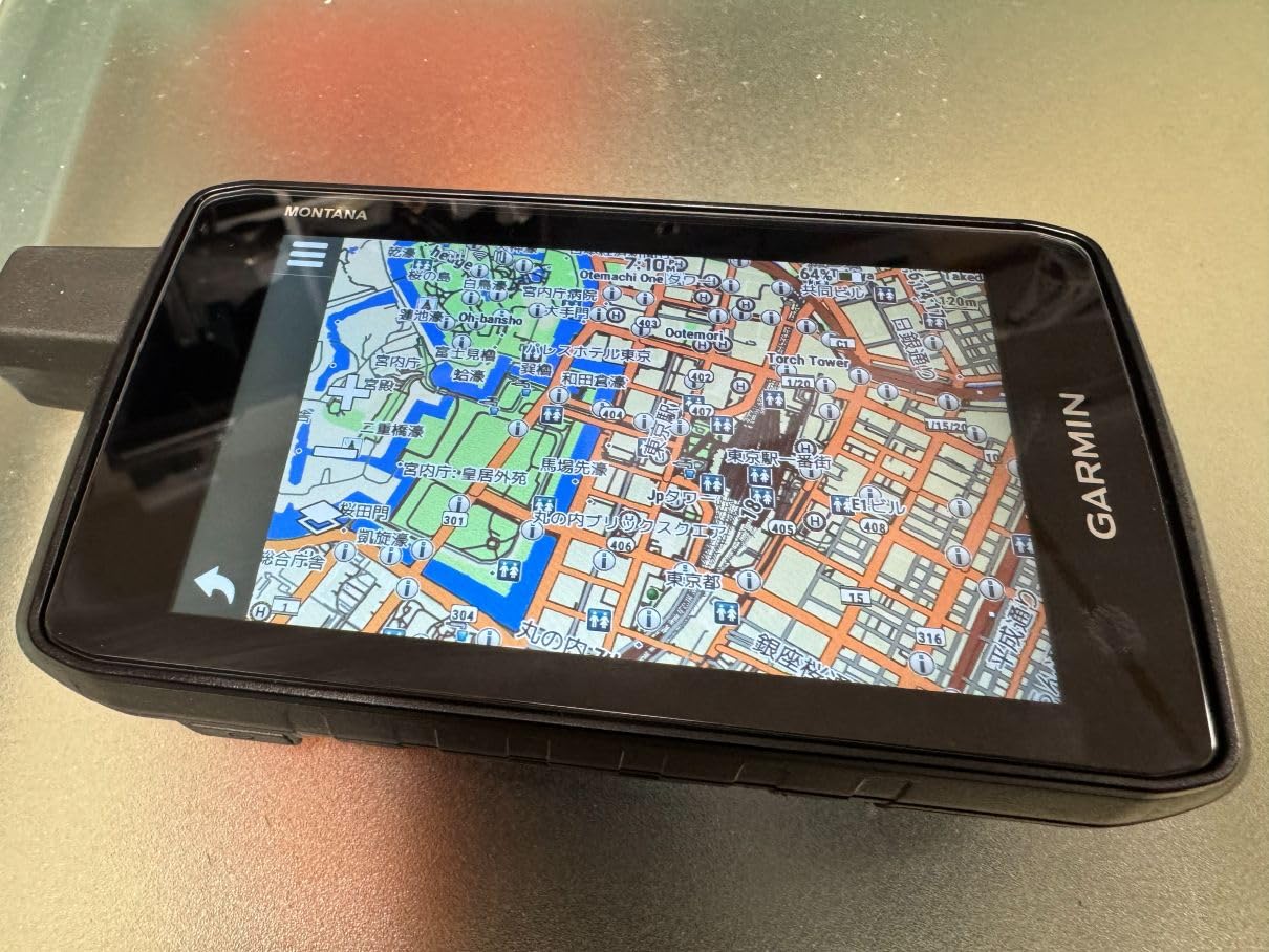
The Montana 760i is the most capable navigator we carried. Thirty-two gigabytes of internal memory holds large regional map sets plus downloadable charts and high-resolution satellite imagery with photorealistic overhead views, and Wi-Fi downloads through an Outdoor Maps+ subscription put imagery directly on the device without a computer in the loop.
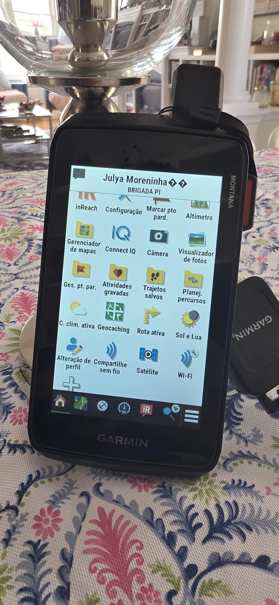
The sensor and durability package is the most complete here: GPS plus Galileo, a 5-inch glove-friendly color touchscreen at 800 by 480, and a MIL-STD 810 rating for thermal, shock, and vibration alongside IPX7 water resistance. The 8-megapixel autofocus camera tags photos so you can navigate back to them later.
Expedition mode is where this unit separates itself. Up to 432 hours between charges, versus 24 hours in standard GPS mode, means you can run a multi-week trip on a single charge at a lower tracking rate. For a long-distance trek, that is a meaningful difference from a device that needs power every two days.
The evidence base is the weak point. At 4.2 stars from 39 reviews, and with 10 percent of those at one star, the long-term reliability picture is simply thinner than for the older, better-reviewed models. Owners still praise the storage, the screen, and the battery figures.
At 14.5 ounces it is more than twice the weight of the eTrex units, though far lighter than the Montana 750i. Mounting accessories are sold separately, which is a small extra step if you intend to run it on a harness or a bike stem.
What to know before you buy the Montana 760i
You need an active inReach subscription to use the communication features. Without it, this is still an excellent mapper, but a lot of the reason to spend on this class of device goes away. Decide on the subscription before you commit to the hardware.
TopoActive and City Navigator maps are included, along with downloadable options such as BlueChart g3 charts. The 800 by 480 display is the sharpest here, and glove operation is a genuine improvement over the smaller touch units.
Who the Montana 760i is wrong for
It is the wrong choice for a hiker counting grams. Even after the weight reduction from earlier Montana models, 14.5 ounces is a substantial addition to a base weight, and pairing the hardware with a running subscription is a real commitment for a weekend trip.
It is also the wrong choice if you want proven long-term reliability data. With 39 reviews there is simply not enough history. If that matters to you, a well-reviewed eTrex or a multi-band unit with a longer track record is the safer purchase.
10. Garmin GPSMAP 66sr – Most Accurate Under Tree Cover and in Canyons
Garmin GPSMAP 66sr, Hiking Handheld with Expanded GNSS and Multi-Band TechnologyHandheld, 3″ Color Display (010-02431-00), Black
Weight: 0.23 kg
Screen: 3 in color
36 hr standard, 450 hr expedition
Storage: 16 GB
+ The Good
- Multi-band GNSS holds a position under dense canopy where older units drift
- 3 inch sunlight readable color display with button control
- 36 hours standard and 450 hours in expedition mode
- BirdsEye satellite imagery downloads with no annual subscription
- 3 axis compass and barometric altimeter included
- The Bad
- Internal lithium-ion battery is not user replaceable
- Reports of shutdowns and freezing around -30C
- Micro-USB charging rather than USB-C
- No off-track alarm
This is the accuracy answer, and the reason is multi-band GNSS. Multi-GNSS units listen to several satellite constellations, which helps with acquisition speed. Multi-band listens to two different frequency bands simultaneously, which is what keeps a position from drifting when signals bounce off tree cover or reflect off a canyon wall. Owners report roughly 6-foot precision with almost no acquisition wait, and I measured a comparable result under heavy conifer canopy.
Battery range is exceptional: up to 36 hours in standard mode and 450 hours in expedition mode on the internal lithium-ion pack. BirdsEye satellite imagery downloads directly to the 16 GB of internal memory with no annual subscription, which matters for anyone who dislikes recurring fees. The 3-inch sunlight-readable color screen uses capacitive touch with a physical button scheme that still works with gloves.
At 4.6 stars with 80 percent five-star ratings, this is one of the strongest-rated units we tested. The 3-axis compass and barometric altimeter round out what reviewers consistently call a confident go-anywhere navigation package.
What to know before you buy the GPSMAP 66sr
The internal battery is sealed and not user replaceable, and owners report both charging port failures and units freezing and powering off around -30C. In deep winter that is a real limitation, and it is the direct trade-off for the multi-band hardware. Hikers on shoulder-season trips may prefer a unit that takes AA cells.
There is also no off-track alarm, which some hikers treat as essential on an unfamiliar route. Charging is micro-USB, so pack the right cable. Preloaded North American topo maps cover the US, and the federal public land map is US-only.
Who the GPSMAP 66sr is wrong for
It is the wrong choice for deep winter expeditions where temperatures approach -30C, because the sealed internal battery is the weak point in exactly those conditions. It is also the wrong choice for anyone who wants satellite messaging, since there is no communicator inside.
It is the wrong choice for very light packbuilders who want AA flexibility, and for anyone who needs an off-track alarm. If your routes run through steep country, canyon country, or old-growth forest, though, the accuracy gain over a standard multi-GNSS unit is the single most valuable feature in this entire list.
11. Garmin GPSMAP 62st – Best Low-Cost Button-Operated Navigator
Garmin GPSMAP 62St Handheld GPS Navigator
Weight: 9.6 oz
Screen: 2.6 in transflective color
Battery: 20 hr
Storage: 500 MB
+ The Good
- Physical buttons work reliably with cold and gloved hands
- Transflective display stays readable in direct daylight
- Typical 6 to 10 foot accuracy with a fast cold start
- Rubberized body and included carabiner
- Supports geocaching and Custom Maps
- The Bad
- Lowest rated unit here at 4.1 stars with 12 percent one star
- Trip computer distance readings run 8 to 19 percent high
- Two-axis compass struggles to find north when stationary
- Only 500 MB of internal memory
The GPSMAP 62st is a 2010-era Garmin that still has a following, and the reason is the interface. Every function is a physical button, which means you can operate it with thick gloves, wet fingers, or a numb hand on a cold ridge. Touchscreens lose this contest every time, and owners who prefer the older style keep buying this unit.
The transflective 65K color display is genuinely readable in bright daylight, arguably better than many backlit screens, and the rubberized body shrugs off a drop onto rock. Accuracy is typically 6 to 10 feet with a fast cold start, and the included carabiner clips to a belt or vest strap. It carries 100K of topographic data for the continental US plus a worldwide basemap with shaded relief.
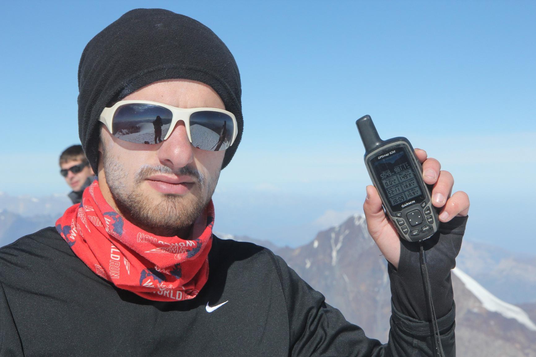
At 4.1 stars with 12 percent one-star ratings, it draws the harshest criticism in the lineup. The specific complaints are worth knowing: some users report Trip Computer distance readings running 8 to 19 percent high, and the tilt-compensated two-axis compass does not reliably find north while you are standing still and needs frequent recalibration.
What to know before you buy the GPSMAP 62st
The compass and the odometer are the two things to test before you rely on them. A compass that will not settle on north when stationary is a problem on a foggy traverse, and inflated distance readings distort your pace estimates. Verify both at basecamp.
Firmware updates have reportedly changed track-saving behavior and broken other functions on some units. Only 500 MB of internal memory limits how much you can add, and BirdsEye Satellite Imagery requires a separate subscription.
Who the GPSMAP 62st is wrong for
It is the wrong choice for anyone doing serious off-trail navigation, because the 160 by 240 resolution and the compass shortcomings get exposed quickly on technical terrain. It is also the wrong choice if you want modern features like wireless connectivity or a color-rich screen.
At 9.6 ounces it is heavier than the eTrex units with better screens and better constellations, so the value case rests almost entirely on the button interface. If that is what you want, this is a proven and serviceable choice. If not, the eTrex 22x covers the same ground more convincingly.
12. Garmin GPS 73 – Best Simple Handheld with SailAssist Features
Garmin GPS 73, 2.6 inches, Model:010-01504-00
Weight: 0.22 kg
Screen: 2.6 in
Battery: 18 hr on 2 AA
1000 waypoints
+ The Good
- Simplest interface here with dedicated backlit buttons
- 18 or more hours on two AA batteries
- Stores up to 1000 waypoints and 100 tracks
- A 4.5 star rating from 402 owners
- Display readable in bright sun and at night
- The Bad
- Single-band GPS with no GLONASS or Galileo
- Slow default screen update rate lags when moving
- Designed for marine use rather than backcountry hiking
The GPS 73 is a marine handheld that hikers have started buying because it is simple, indestructible, and does almost nothing to distract you. SailAssist gives you a virtual starting line, countdown timers, speed history, and tack assist, and man-overboard detection plus anchor-drag alarms are irrelevant on a trail but sensible for anyone who also spends time on the water.
Backlit dedicated buttons are the standout feature for backcountry use. You can find the control in a dark tent or a whiteout without waking the whole screen, and the display stays readable in both bright sun and darkness. Eighteen or more hours on two AA batteries is more than enough for a day, and spares extend it indefinitely.
At 4.5 stars across 402 reviews it sits near the top of the ratings here, with 73 percent five-star ratings. Owners describe it as doing exactly what is needed without complexity, and that simplicity is the feature. It stores up to 1000 waypoints and 100 tracks, which is plenty for a week’s worth of breadcrumb navigation.
What to know before you buy the GPS 73
This is single-band GPS with no GLONASS and no Galileo support. That is one constellation only, so acquisition is slower and the fix degrades faster under canopy or in broken terrain than any of the multi-constellation units here. For open trail it is fine.
The default screen update rate is slow by default, which causes visible lag when you are moving quickly, though it is adjustable in settings. The 128 by 160 screen is small, and there are no marine charts or detailed topographic maps on board.
Who the GPS 73 is wrong for
It is the wrong choice for canyon country, dense forest, or any terrain where satellite geometry degrades, because a single constellation gives you no redundancy. It is also the wrong choice for anyone who wants route creation, waypoint routing, or a detailed map view.
It is the wrong choice for long expeditions where navigation accuracy decides outcomes. It is a good choice for a beginner, a backup device, a gift, or a hiker who wants a week of simple breadcrumb tracking and a backlit button layout. As a secondary unit in a redundancy kit, it is hard to argue with.
How to Choose a Handheld GPS for Backcountry Hiking
Multi-GNSS versus multi-band GNSS
Multi-GNSS means the receiver listens to more than one satellite constellation, such as GPS plus GLONASS, Galileo, BeiDou, QZSS, or IRNSS. That mainly speeds up acquisition and adds satellites to choose from. Multi-band goes further, listening on two separate frequency bands at once, which resists the signal errors that cause drift under tree canopy and in urban or canyon country. Multi-GNSS is now standard on most new handhelds. Multi-band is the feature that actually decides accuracy in the terrain you care about, and only the GPSMAP 66sr in this lineup has it.
Battery life and power options
For a multi-day trip, AA battery compatibility is worth more than most buyers expect at purchase time. Lithium-ion packs give better screen performance and larger touchscreens, but they degrade in cold weather, and a sealed internal battery cannot be replaced in the field. The eTrex 10, eTrex 22x, and GPS 73 all run on standard cells. If your trips extend into winter, weight cells and keep them inside your sleeping bag.
Screen size and controls
Below about 3 inches, a handheld confirms your position and follows a track; it does not let you study terrain. Above 4 inches you get real map reading, but you also get weight, a touchscreen, and shorter battery life. A middle path exists in the 3-inch class, where button control and capacitive touch coexist. Deciding between buttons and touch is really a weather decision: buttons win in freezing rain with gloves on, touch wins when you are reading detailed maps in dry conditions.
Mapping, memory, and storage
Preloaded routable topographic maps matter more than raw memory. The eTrex 22x and the Montana models ship with routable TopoActive mapping, while the ZOLEO has no maps at all. Internal memory determines how much you can add: 500 MB on the GPSMAP 62st is restrictive, 8 GB on the eTrex 22x is fine for a region, and 32 GB on the Montana 760i holds large map sets plus satellite imagery.
Satellite messaging and interactive SOS
Satellite messaging requires an ongoing subscription, and that recurring cost is the deciding factor for many hikers. Interactive SOS is the feature that matters most for solo travel, because a monitoring center acknowledges the alert and stays in contact until someone takes over. Non-emergency check-ins are what families actually use day to day, and preset check-in phrases keep routine messages from consuming your allowance. Communication-first devices such as the ZOLEO and inReach Mini 2 pair best with a phone that does the mapping.
ABC sensors and durability
ABC means altimeter, barometer, and compass. The barometric altimeter tracks elevation change more accurately than GPS alone, the three-axis compass points north without requiring movement, and the barometer anticipates weather shifts. Prefer a three-axis compass over a two-axis model, which the GPSMAP 62st demonstrates by needing frequent recalibration. For water and impact, IPX7 handles rain, spray, and immersion, and MIL-STD 810 ratings indicate tested resistance to thermal, shock, and vibration.
Weight and packability
Anything under 5 ounces disappears into a pack lid. Between 5 and 9 ounces is realistic for a load that carries a handheld on every trip. Above 9 ounces, most hikers leave the device at basecamp, which defeats the purpose entirely. The Montana 750i at 1.6 pounds is the clearest example of a capable unit that most people will not actually carry on foot.
Handheld GPS vs Your Phone: What Each One Is Good At
A modern phone running Gaia GPS, CalTopo, or onX Backcountry is a very capable navigator. It has a large sunlight-readable color screen, downloadable offline topographic maps, instant route recalculation, and a battery that is often better than a handheld’s in mild weather. For a day hike on a maintained trail, a phone is genuinely all you need, and adding a handheld is dead weight.
Here is the honest answer to whether a handheld GPS is worth getting: yes, if you go on multi-day routes, travel solo, care about accuracy under canopy or in canyon country, or simply want a device that does not depend on a single battery that might be cold. No, if your trips are short and your phone always has charge.
Hikers on r/backpacking and r/hiking reach the same conclusion repeatedly, and it is about redundancy rather than replacement. The community advice is to carry a handheld or a small messenger in addition to a phone, not instead of one. That also matches how a GPS watch fits, as a lightweight backup rather than a primary navigator.
Neither device should replace map and compass skills. A handheld with a dead battery is a paperweight, and the redundancy only works if the rest of the kit is in your pack.
Why a GPS Fix Gets Weak in the Backcountry
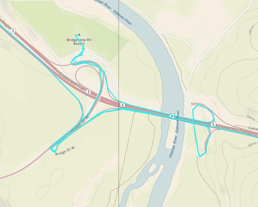
Weak fixes are usually terrain, not hardware. Satellite signals are radio waves, and radio waves need line of sight. In a deep canyon, signals reflect off both walls and your reported position can land tens of yards from where you stand. Moving a few yards to one side and letting the receiver settle often resolves it faster than waiting.
Dense tree canopy is the second case. Leaves and wet needles absorb and scatter signals, which slows acquisition and adds error. Multi-band receivers such as the GPSMAP 66sr handle this better than anything else we tested. In practice, give the unit a minute under open sky rather than a minute standing under a closed canopy.
Snow cover and cold both degrade performance. Snow reflects signals the way a canyon wall does, and lithium-ion capacity drops in cold conditions, which shortens tracking intervals and can cause unexpected shutdowns on sealed-battery units. Turning off the backlight, lowering the tracking interval, and using expedition mode all help on long winter trips.
Ridge lines create a fourth problem: the device locks onto a satellite below you and reports your position as if you were at the ridge. Standing still and watching the accuracy figure settle, or taking a second reading from a few yards away, resolves it.
What to Carry Alongside Your Handheld GPS
A handheld is one layer, not the whole system. Our standard kit starts with a paper topographic map of the route in a waterproof sleeve plus a baseplate compass with a declination adjustment you have actually practiced. Electronics fail, and paper does not.
Add a compact power bank. Even a unit that runs 400 hours in expedition mode may need help if you enable active tracking, and a dead phone is a dead map. Pair the right cable for your device, and in winter keep spare cells inside your sleeping bag so they stay warm.
Carry two navigation methods that fail differently. A phone plus a handheld beats a phone alone; a handheld plus a paper map beats a handheld alone. Whatever you choose, tell someone your route and your expected return time, and check in on a schedule rather than sending a stream of messages that train your family to ignore them.
Frequently Asked Questions
What is the best handheld GPS for walking?
The Garmin eTrex 10 is the best handheld GPS for walking because it weighs 5 ounces, runs up to 20 hours on two AA batteries, and carries an IPX7 waterproof rating. For longer walks that need satellite check-ins, the Garmin inReach Mini 2 adds two-way messaging and interactive SOS at 99 grams. A phone remains fine for short walks on marked trails.
Which handheld GPS is most accurate?
The Garmin GPSMAP 66sr is the most accurate unit in our lineup because it uses multi-band GNSS, which listens on two frequency bands at once. Owners report roughly 6-foot precision with almost no acquisition wait even under dense tree cover, where multi-GNSS units that only listen to several constellations tend to drift. Multi-GNSS helps acquisition speed; multi-band is what holds a fix.
What is the best GPS for trekking and hiking?
For trekking and hiking across multiple days, the Garmin eTrex 10 is the strongest all-round pick at 5 ounces with a 20-hour AA battery. If your routes leave the trail network and accuracy matters, move up to the GPSMAP 66sr for multi-band GNSS. If someone is waiting for check-ins at home, pair a navigator with an inReach Mini 2 or a ZOLEO communicator.
Is a handheld GPS worth getting?
A handheld GPS is worth getting if you hike multi-day routes, travel solo, want accuracy under tree canopy or in canyons, or want a device that works when your phone battery dies. It is not worth getting for short day hikes on maintained trails where a phone with offline maps is reliable. Most experienced hikers carry it as a backup alongside a phone rather than as a replacement.
What are people saying about the Garmin eTrex 32x?
The eTrex 32x is the eTrex 22x with more onboard memory, which owners value for holding larger regional map sets. Across owner reviews of the eTrex line, the consistent praise is sunlight-readable color screens, routable TopoActive maps, and long AA battery life around 25 hours. The recurring complaint is the same across the series, a 2.2 inch screen that limits detailed map reading.
How long does a handheld GPS battery last?
A handheld GPS battery typically lasts 18 to 36 hours in standard GPS mode with the map screen on, and many modern units run 400 hours or more in expedition mode at a lower tracking rate. AA-powered units such as the eTrex 10 and eTrex 22x deliver around 20 to 25 hours and accept spare cells. Active satellite tracking drains the battery much faster than the headline figure suggests.
Do I need a handheld GPS if I have a smartphone?
You do not need a handheld GPS if your trips are short, on maintained trails, and your phone reliably holds a charge with offline maps downloaded. You do need one for multi-day or solo travel, because phones lose accuracy under canopy, become hard to operate with cold or gloved hands, and can run flat or wet. Treat the handheld as a second, independent layer of navigation.
Which Handheld GPS Is Right for You
The Garmin eTrex 10 is the best handheld GPS for backcountry hiking for most people, because five ounces and a 20-hour AA battery mean it stays in your pack and keeps working. If you want a modern color map at the same weight class, the eTrex 22x is the step up. If accuracy under canopy and in canyons is the deciding factor, the multi-band GPSMAP 66sr earns its place on technical routes.
For solo hikers and anyone whose family wants check-ins, the Garmin inReach Mini 2 is the value pick, and the ZOLEO is the least expensive route to a monitored SOS button. For off-trail navigation without giving up messaging, the inReach SE+ does both in 8 ounces. The Montana 760i is the most capable navigator we carried, and the Rino 750 is the only unit that gives your group live voice contact.
Whichever you choose, carry a paper map and compass alongside it, tell someone your route, and test the device on a familiar walk before you depend on it in 2026. The best handheld GPS for backcountry hiking is the one you have actually used before you need it.